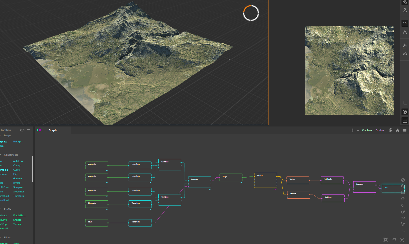
The software Gaea has been around for quite some while and I think a lot of people haven't heard of it yet. Gaea can do many things with terrain and it can output all sorts of maps that you can re-use in other softwares, for example displacement of trees or where the water level should be. In no time at all you can transform your own terrain of choice. Weither it is on Mars or the snowy Himalaya's.
Procedurally Generated
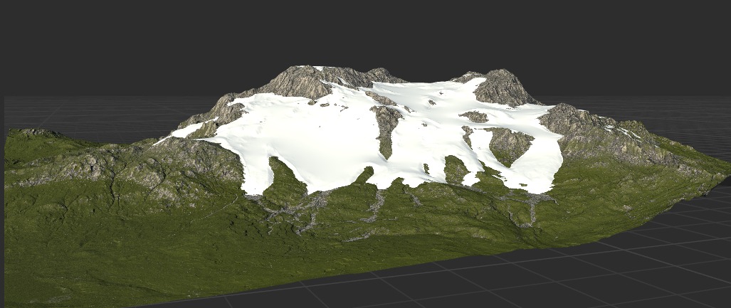
The terrain is generated from an image. and for each generated image there is a map that can be used as input.
For instance the "height" map is a crucial one for displacement of the terrain.
Map Generation
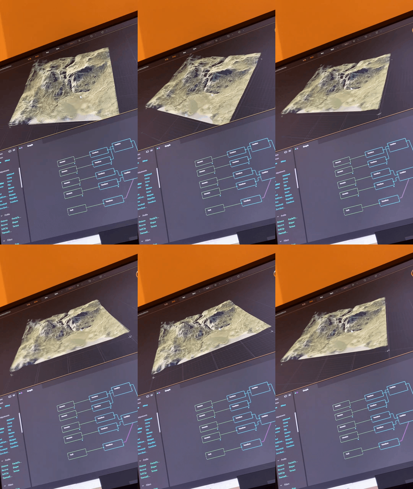
Here are some screens of how it looks inside of gaea and it can do a lot with a couple of maps.
Creating a Desert
So i haven't gone up to make a video or export animation of a fly through camera.
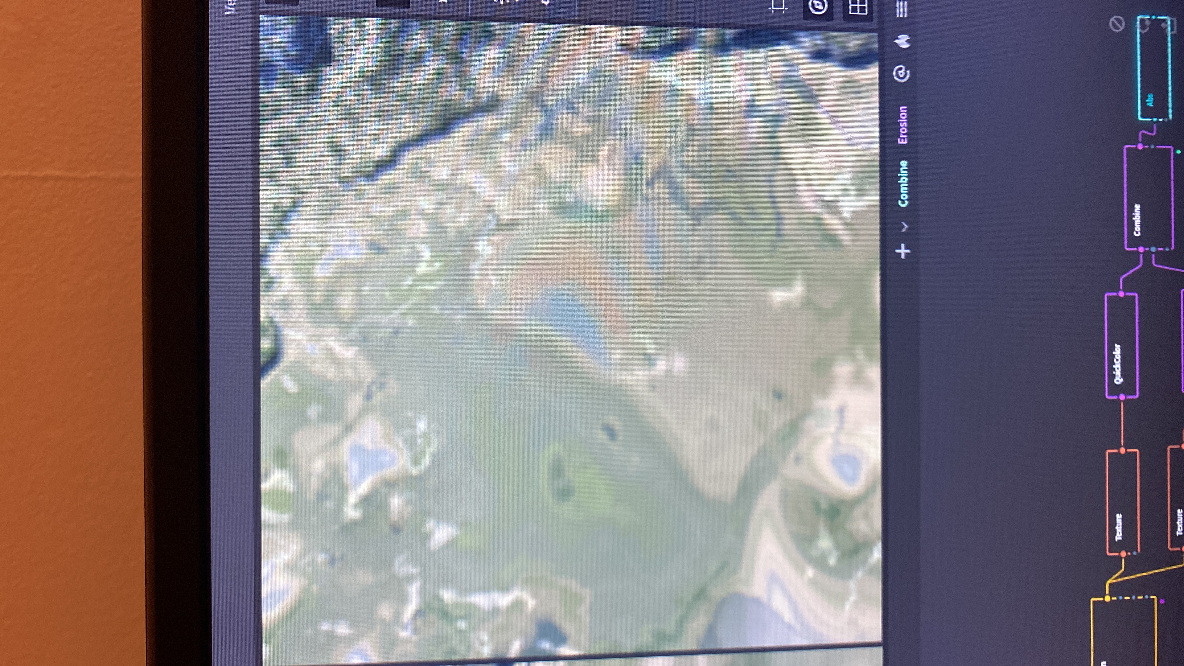
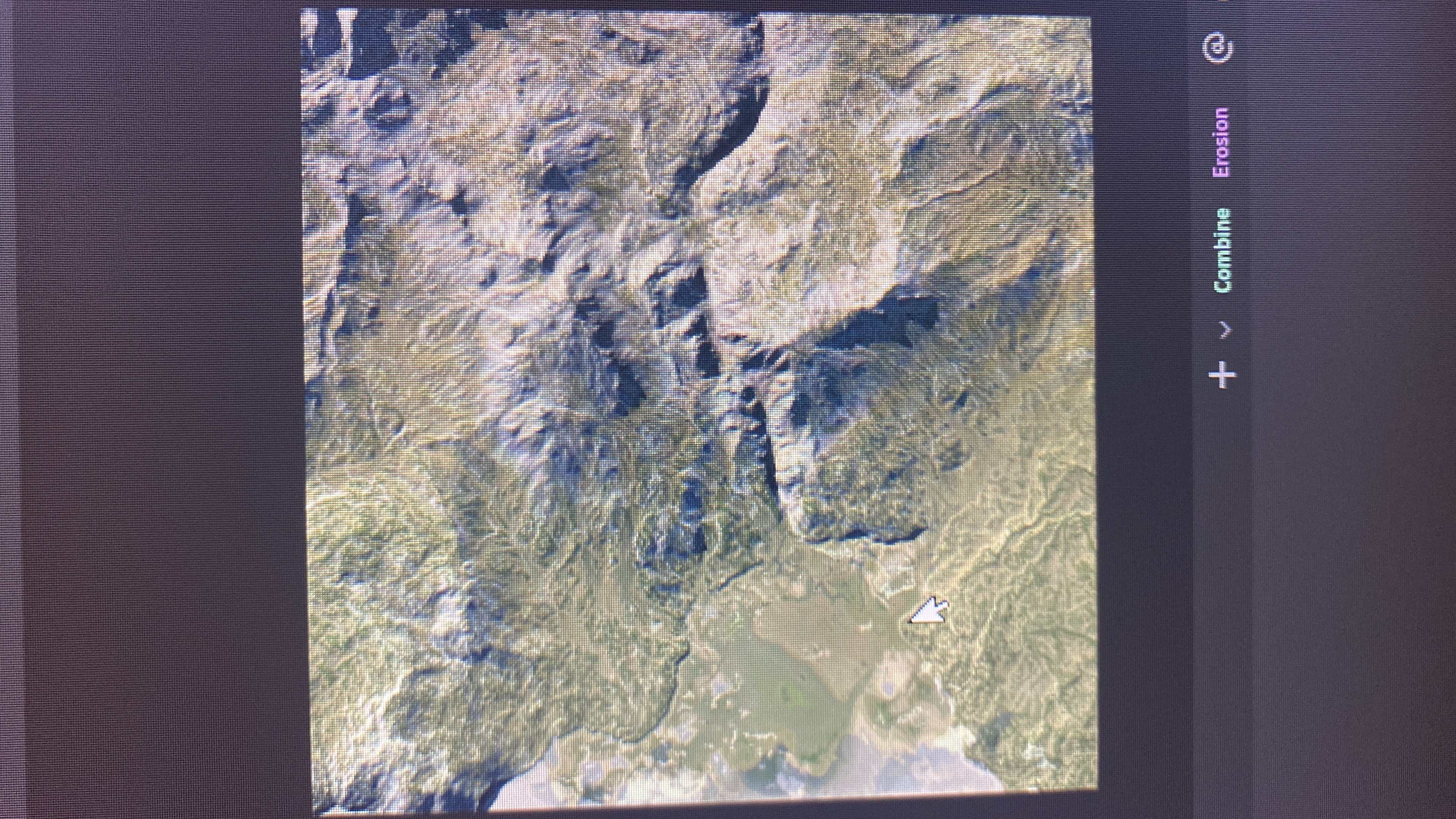
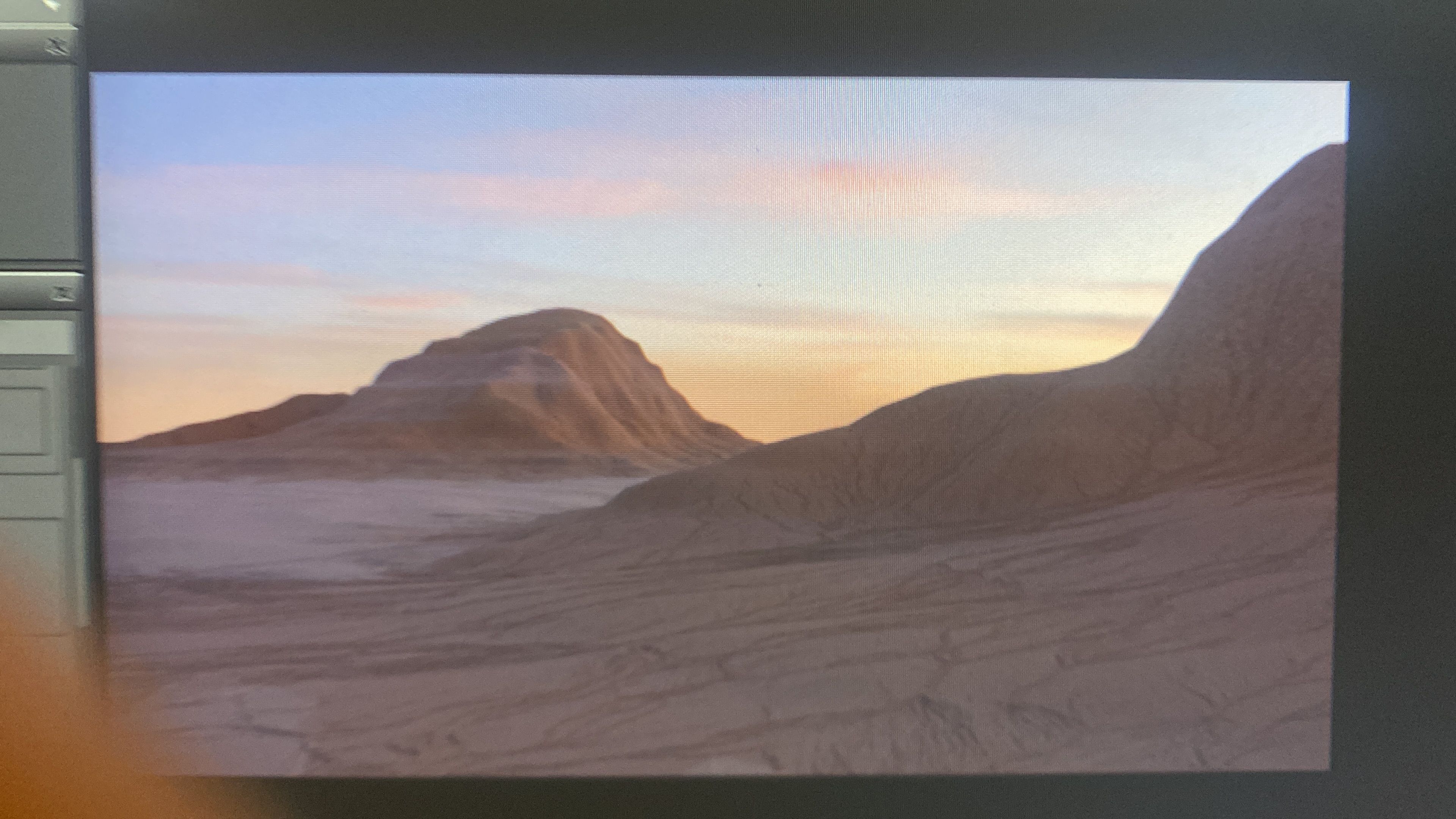
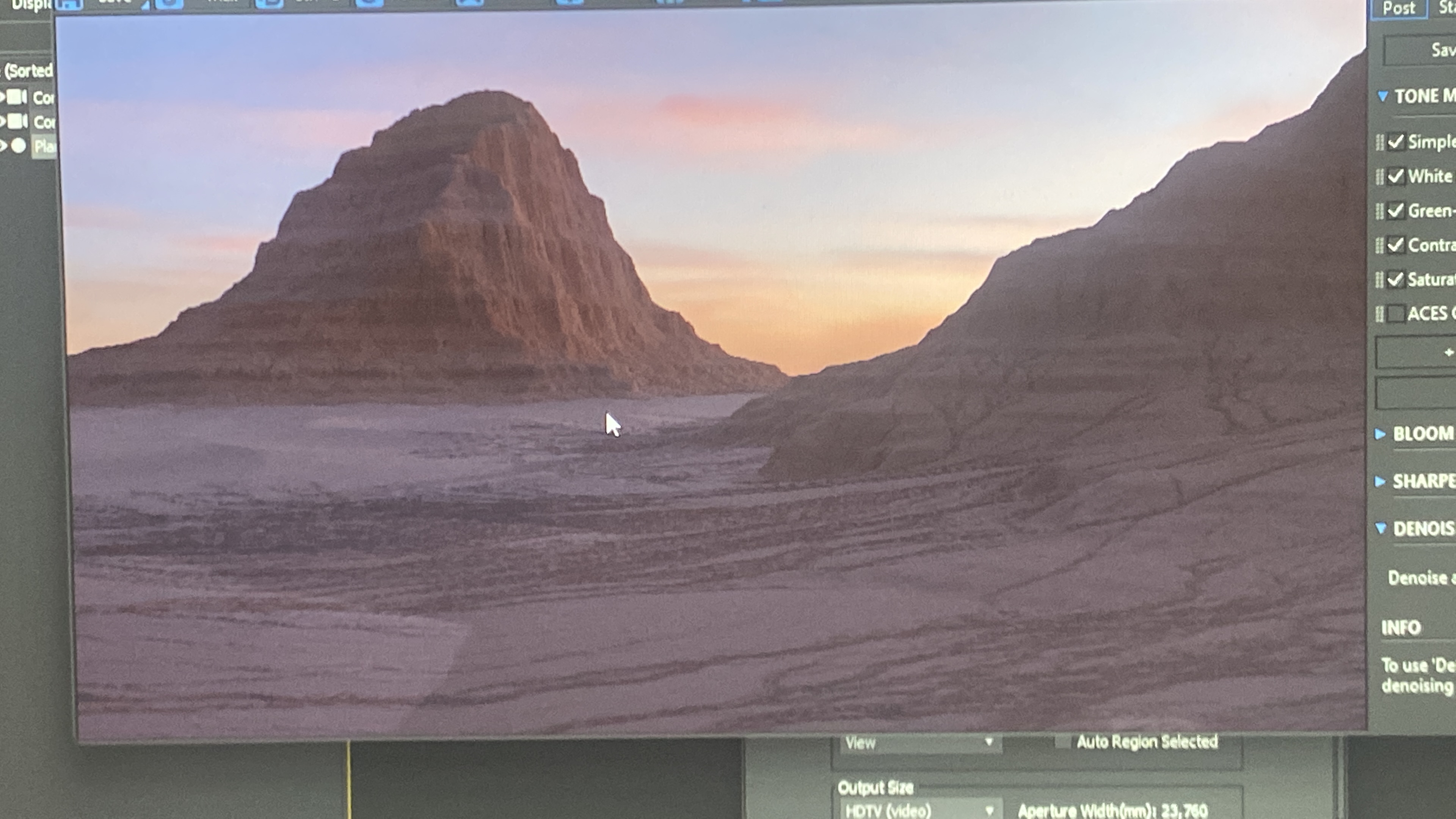
However, I did gain the fundamentals of creating such a procedural landscape as seen here.
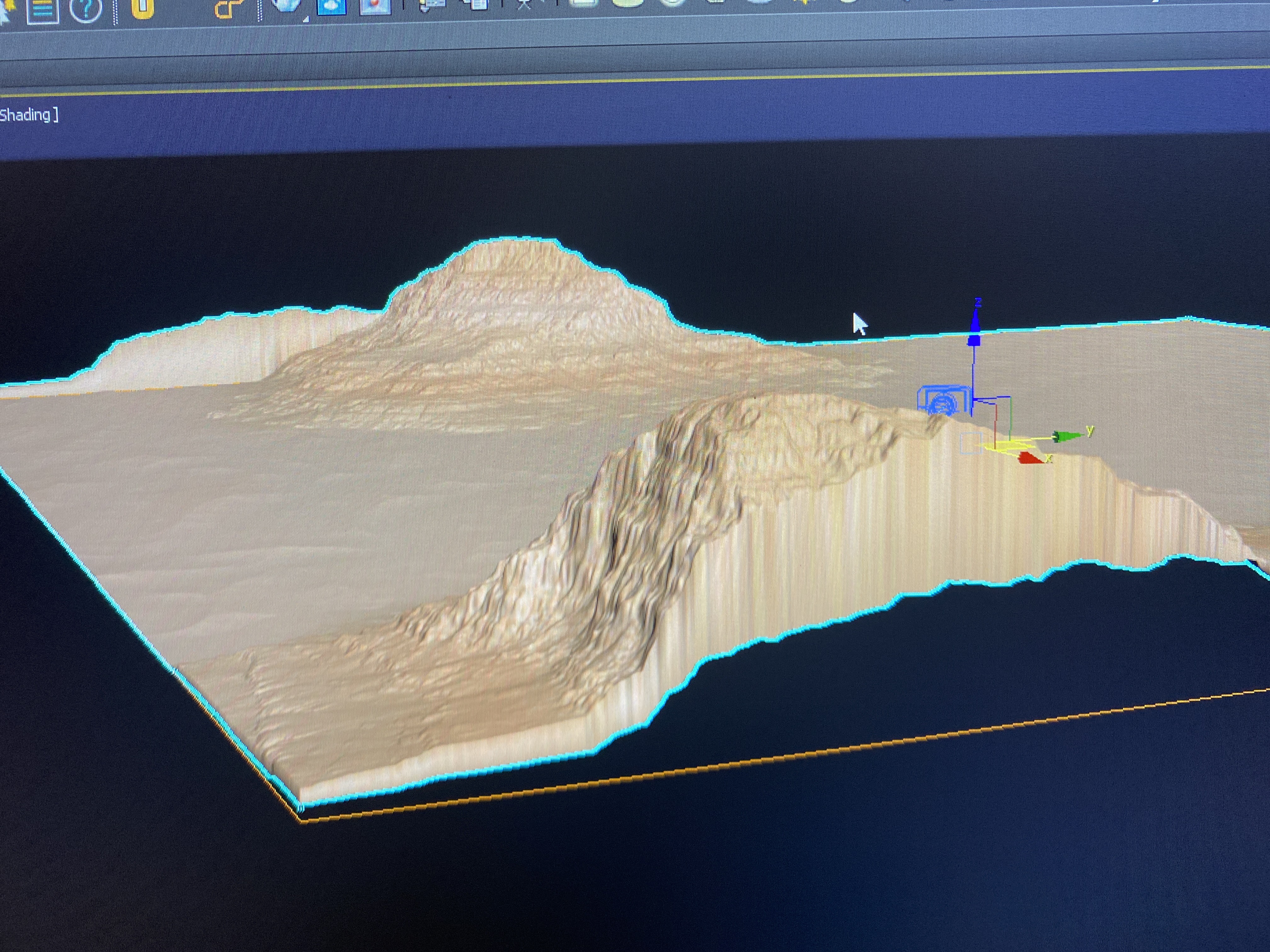
Inside of the viewport of 3ds Max (in this case) you can see the effect of how high the terrain is, but you can also see that vertices on the edges of the plane are falling down. To fix this you only need to adjust the Uv's.
So the hardest part was to get the right scaling and now it was important to go into the detailing.
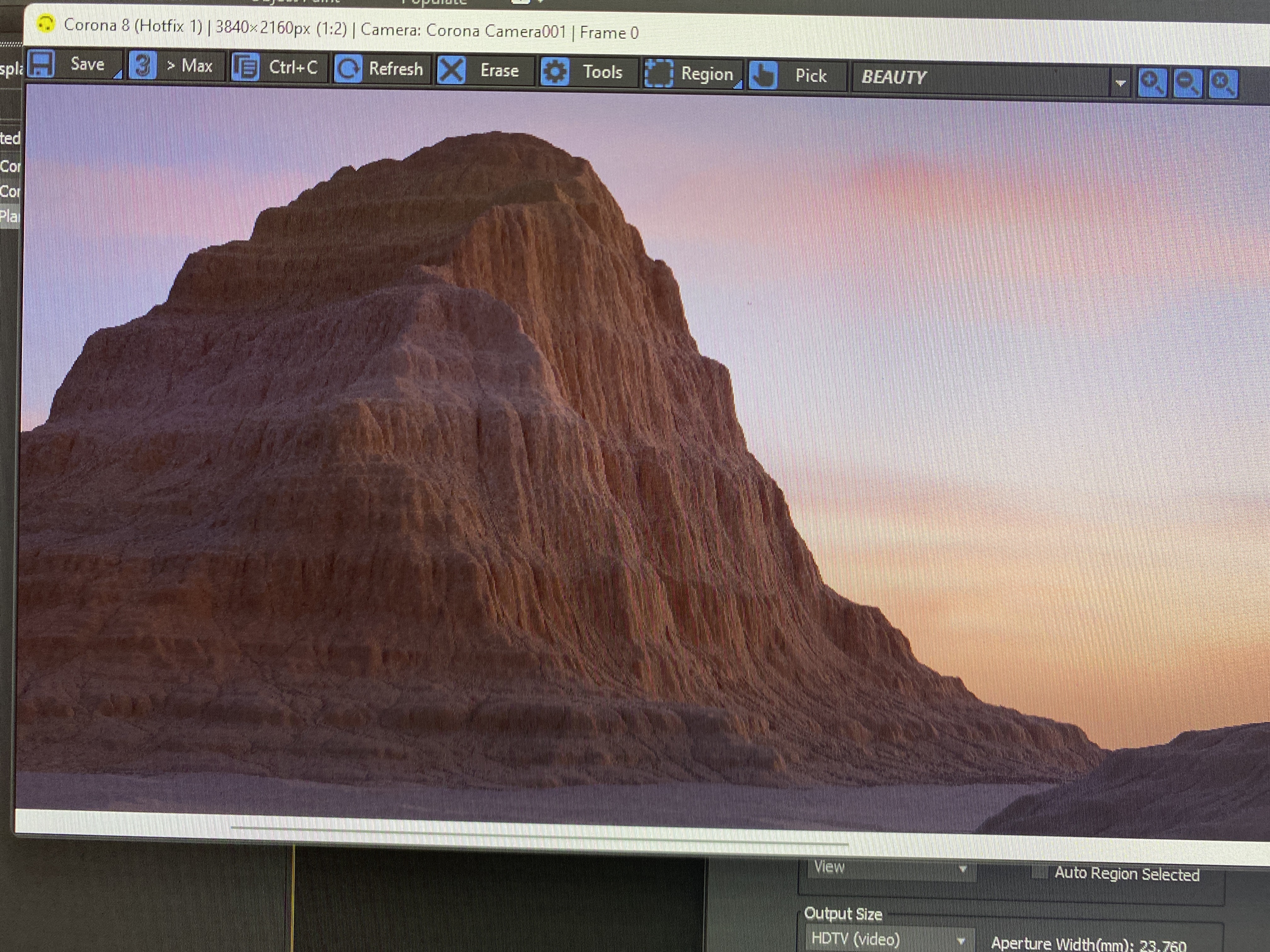
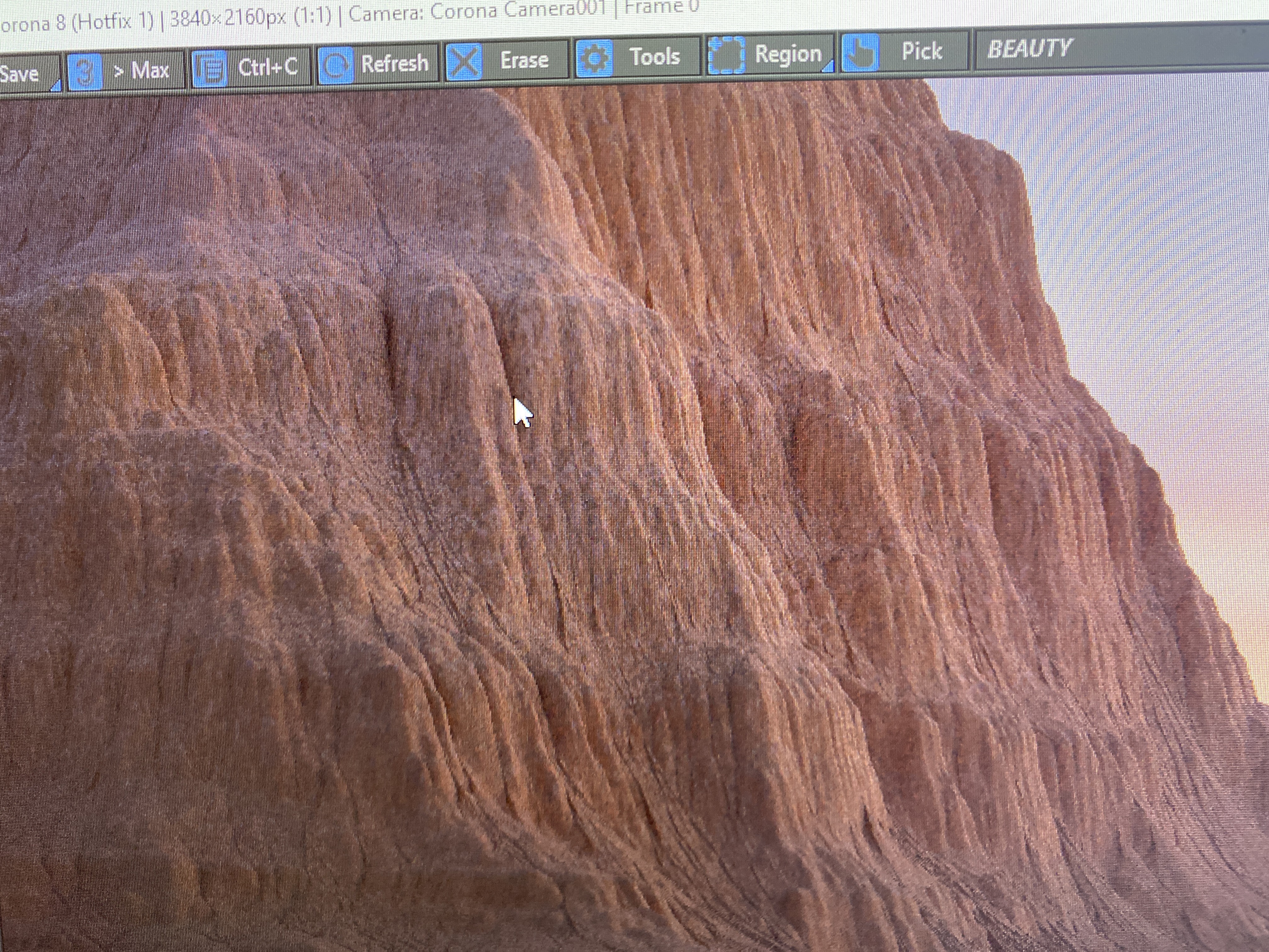
As you can see you can get a great crisp and clear result of the details of the terrain.
And with this software there is much that you are capable of.
To Be Continued...
I would really recommend the courses of thegnomonworkshop.com.
